| Description: |
|
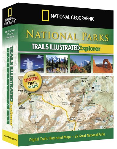
Product Description
National Geographic's National Park Explorer is the ideal way to get detailed topographic trail maps for your next National Park visit!
National Park Explorer includes thoroughly researched and up-to-date maps of the top 25 most popular national parks with our easy to use TOPO! map software.
Using your Mac or PC and any home printer, you can browse, customize, and print the exact maps you need for your trip. GPS users can plan their trips in detail and import/export their routes, waypoints, and tracks. Additional map tools enable you to calculate distances, view elevation profiles, and explore the terrain in 3D.
National Park Explorer includes detailed maps for: Acadia, Arches, Big Bend, Bryce Canyon, Canyonlands, Channel Islands, Death Valley, Glacier/Waterton, Grand Canyon, Grand Teton, Great Smoky, Isle Royale, Joshua Tree, Kings Canyon, Mt. Rainier, North Cascades, Olympic, Redwood, Rocky Mountain, Sequoia, Shenandoah, Theodore Roosevelt, Yellowstone, Yosemite, and Zion National Parks.
Each map includes easy to read trails, locations of campgrounds, picnic areas, scenic spots, park facilities and much more.
National Park Explorer is compatible with most Garmin, Magellan and Lowrance GPS receivers, and enables the transfer of routes, waypoint, and track data to/from your GPS. Note: Maps cannot be transfered to any GPS.
|