| Author: |
|
National Geographic Maps
|
| Title: |
 |
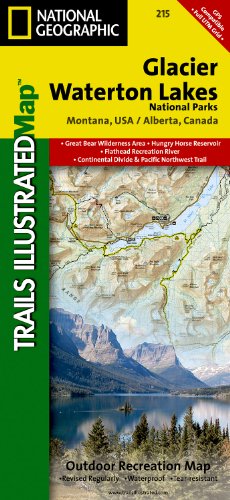
Glacier & Waterton Lakes National Park, MT - Trails Illustrated Map #215 (National Geographic Maps: Trails Illustrated) |
| Moochable copies: |
|
No copies available |
| Amazon suggests: |
|
| Topics: |
|
| Published in: |
|
English |
| Binding: |
|
Map |
| Pages: |
|
2 |
| Date: |
|
2008-12-01 |
| ISBN: |
|
1566953189 |
| Publisher: |
|
Natl Geographic Society Maps |
| Weight: |
|
0.25 pounds |
| Size: |
|
0.31 x 4.25 x 9.25 inches |
| Edition: |
|
2 |
Amazon prices: |
|
|
|
|
|
| Description: |
|
Product Description
Waterton Lakes NP includes Waterton Park, Upper and Middle Waterton Lakes, The Border Ranges, Akamina Kishinena Provincial Park, Blood Timber Reserve, and more.
Glacier National Park includes the entire national park area, with detailed trails, and topographic information. Includes the Lewis and Clark Range, Many Glacier, Lake McDonald, Great Bear Wilderness, Flathead National Forest, Columbia Falls, Horse Reservoir, St. Mary Lake, and much more. Includes UTM grids for use with your GPS unit.
Scale = 1:100,000
Size: 26'' x 38''
|
| URL: |
|
http://bookmooch.com/1566953189 |
|

|